Exploring 3D Laser Scanning Services: Basics, Insights, and Industry Use Cases
3D laser scanning is a non-contact, non-destructive technology used to capture the shape and dimensions of real-world objects or environments with high accuracy. The process involves using a laser to collect precise data points (called point clouds) that are then used to create 3D models or digital replicas.
Initially developed for industrial and surveying applications, 3D laser scanning has expanded into architecture, archaeology, automotive design, construction, forensics, and even cultural heritage preservation.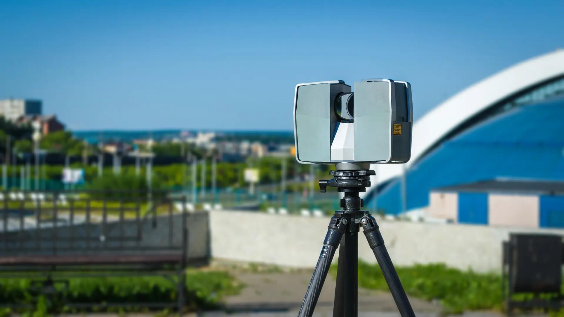
This technology helps professionals digitize objects and spaces for analysis, documentation, reverse engineering, simulation, and planning all while reducing manual measurement errors.
Why 3D Laser Scanning Matters Today
3D laser scanning plays a critical role in today’s fast-paced, precision-focused world. As industries move toward automation, digitization, and sustainable development, the need for highly accurate 3D data continues to grow.
Who it benefits:
-
Construction and engineering firms – For as-built documentation, clash detection, and BIM integration
-
Manufacturing companies – For quality control, prototyping, and reverse engineering
-
Architects and designers – For visualizations, remodels, and space planning
-
Government agencies – For land surveying, urban planning, and infrastructure management
-
Cultural institutions – For digitally preserving historical sites and artifacts
Problems it solves:
-
Reduces field measurement errors
-
Speeds up project timelines
-
Increases data accuracy and consistency
-
Helps visualize complex objects or spaces before physical changes are made
-
Enables better decision-making through data analysis
Recent Developments and Industry Trends
The 3D scanning industry has seen considerable advancement over the past year. Here are some notable updates:
Integration with AI and BIM
Recent software updates in 2024 have brought stronger AI integration into scan-to-BIM workflows. This allows point cloud data to be automatically translated into usable building models saving time and reducing human error.
Drone-Based Scanning
Aerial 3D scanning using drones equipped with LiDAR or photogrammetry sensors has gained traction, especially in large construction and mining projects. The use of drones is predicted to grow by over 20% annually, according to a 2024 report by GlobalData.
Portable and Handheld Scanners
As of early 2025, handheld 3D scanners have become more compact, user-friendly, and affordable, making them popular for smaller businesses and educational institutions. Devices like the Artec Leo, FARO Freestyle, and Revopoint POP 3 are leading the market in this segment.
Sustainability and Digital Twins
Many industries now combine 3D scanning with digital twin technology to monitor environmental performance, energy efficiency, and maintenance schedules in real time.
Legal and Regulatory Considerations
While 3D laser scanning is generally not restricted in most countries, its use is increasingly subject to data protection laws and industry-specific regulations.
Data Privacy and GDPR (Europe)
In the European Union, 3D scanning of public or private spaces may be considered a form of data collection under the General Data Protection Regulation (GDPR). Companies must ensure that personal data (e.g., facial details, license plates) is either removed or handled in accordance with privacy laws.
FAA and Drone Scanning (USA)
In the United States, drone-based 3D scanning is regulated by the Federal Aviation Administration (FAA). Operators must comply with Part 107 rules, which include pilot certification, drone registration, and flying within visual line-of-sight.
Heritage Preservation Rules (Global)
UNESCO and several national heritage bodies have issued protocols on digitally scanning protected sites. In many countries, you must obtain permission before scanning historical buildings or monuments.
Tools, Apps, and Services for 3D Scanning Projects
Here are some commonly used tools and resources that support 3D laser scanning efforts:
Hardware Devices
-
FARO Focus S Series – High-accuracy laser scanners for construction and engineering
-
Leica RTC360 – Fast and automated capture with real-time registration
-
Artec Eva – Portable scanner for medium-sized objects, ideal in design and reverse engineering
-
Trimble X7 – Includes automated calibration and on-site processing
Software Platforms
| Software Tool | Purpose | Industry Use |
|---|---|---|
| Autodesk ReCap Pro | Point cloud to BIM | Construction, architecture |
| FARO SCENE | Point cloud visualization | Forensics, engineering |
| CloudCompare | Open-source editing and visualization | Research, education |
| MeshLab | 3D mesh processing and repair | Archaeology, modeling |
Service Providers
-
Creaform – Offers both scanning hardware and custom scanning services
-
NV5 Geospatial – Specializes in LiDAR and aerial mapping
-
Topcon Positioning Systems – Delivers turnkey 3D scanning solutions for infrastructure
Online Resources
-
Laser Scanning Forum (laserscanningforum.com) – Community discussions and user tips
-
Geo Week News – Industry updates and best practices
-
GitHub – Point Cloud Tools – Open-source code repositories
Frequently Asked Questions (FAQs)
What is the difference between LiDAR and 3D laser scanning?
LiDAR (Light Detection and Ranging) is a type of 3D laser scanning that uses pulsed laser light to measure distances. While all LiDAR is 3D scanning, not all 3D scanning uses LiDAR. Other methods include structured light and photogrammetry.
How accurate is 3D laser scanning?
Accuracy varies by equipment, but most professional 3D scanners can achieve precision within ±1–2 millimeters. High-end terrestrial scanners are capable of sub-millimeter accuracy.
Is 3D laser scanning expensive?
Costs depend on the type of scanner and project size. A simple handheld scan can cost a few hundred dollars, while large infrastructure scans may run into the tens of thousands. Cloud-based software has helped reduce total project costs.
Can 3D scanning be used outdoors?
Yes, many scanners are designed for outdoor use. Devices like the Leica RTC360 and Trimble X7 offer weather-resistant builds and long-range capability, making them suitable for construction sites, topographical surveys, and forestry.
Do you need training to use a 3D scanner?
While basic devices are user-friendly, professional-grade scanners often require training in scanning procedures, data processing, and modeling. Many vendors offer certification programs and tutorials.
Conclusion
3D laser scanning services are reshaping how professionals across industries visualize, plan, and manage physical spaces and objects. With growing integration into digital twins, construction automation, and heritage preservation, the technology continues to gain momentum globally.
Whether you're an engineer looking to improve site accuracy, a curator aiming to digitally preserve artifacts, or a startup testing product prototypes, 3D scanning can offer a reliable, data-rich solution.
As technology advances and becomes more accessible, expect to see 3D scanning used not just in high-end engineering projects but also in education, small businesses, and public infrastructure planning.